
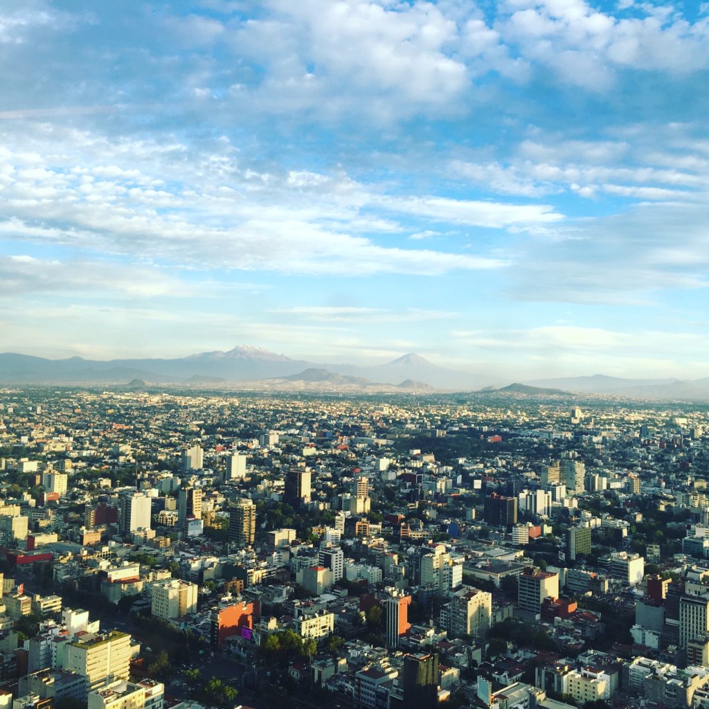
The near-ubiquitous use of mobile devices generates mobility data that can paint pictures of urban behavior at unprecedented levels of granularity and complexity. In the current period of intense sociopolitical polarization, mobility data can help reveal which urban spaces serve to attenuate or accentuate socioeconomic divides. If urban spaces served to bridge class divides, people from different socioeconomic groups would be prone to mingle in areas further removed from their homes, creating opportunities for sharing experiences in the physical world. In an opposing scenario, people would remain among neighbors and peers, creating “local urban bubbles” that reflect and reinforce social inequities and their adverse effects on social mixity, cohesion, and trust. These questions are especially salient in cities with high levels of socioeconomic inequality, such as Mexico City.
Building on a joint research project between Data-Pop Alliance and Oxfam Mexico titled “Mundos Paralelos” [Parallel Worlds], this paper leverages privacy-preserving mobility data to unveil the unequal use and appropriation of urban spaces by the inhabitants of Mexico City. This joint research harnesses a year (2018–2019) of anonymized mobility data to perform mobility and behavioral analysis of specific groups at high spatial resolution. Its main findings suggest that Mexico City is a spatially fragmented, even segregated city: although distinct socioeconomic groups do meet in certain spaces, a pattern emerges where certain points of interest are exclusive to the high- and low-income groups analyzed in this paper. The results demonstrate that spatial inequality in Mexico City is marked by unequal access to government services and cultural sites, which translates into unequal experiences of urban life and biased access to the city. The paper concludes with a series of public policy recommendations to foster a more equitable and inclusive appropriation of public space.



![[P124] cover Bangladesh_Report](https://datapopalliance.org/wp-content/uploads/2025/04/P124-cover-Bangladesh_Report.png)