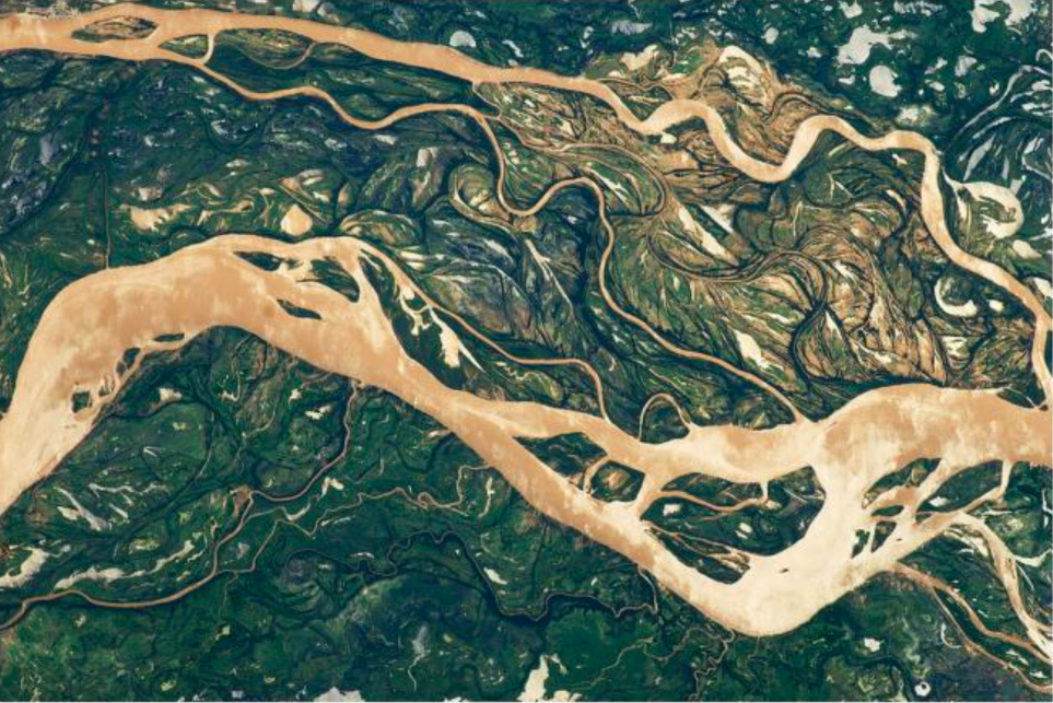
Each year thousands of people and millions of dollars in assets are affected by flooding in Senegal; over the next decade, the frequency of such extreme events is expected to increase. However, no publicly available digital flood maps, except for a few aerial photos or post – disaster assessments from UNOSAT, could be found for the country. This report tested an experimental method for assessing the socio – physical vulnerability of Senegal using high capacity remote sensing, machine learning, new social science, and community engagement.
- Project Reports & Research Papers
Socio-Physical Vulnerability to Flooding in Senegal
- English

![[P124] cover Bangladesh_Report](https://datapopalliance.org/wp-content/uploads/2025/04/P124-cover-Bangladesh_Report.png)

![[WEB] Feature Blog Post](https://datapopalliance.org/wp-content/uploads/2025/02/WEB-Feature-Blog-Post-.png)

