
Every day, geological, biological, hydrological, and climatic factors produce natural hazards, which in some cases result in natural disasters that can have a devastating impact on ecosystems and human societies. Hazards can be geophysical (e.g. earthquakes, cyclonic storms), biological (e.g. infestation), or generated by a combination of different factors (e.g. floods, wildfires, etc). Big Data technologies can play a role in:
- monitoring hazards
- determining the exposure of human societies to disaster risk
- tracking impacts of disasters and monitoring recovery efforts
- mitigating vulnerabilities; and
- strengthening resilience of communities.
Earthquakes
Even if science is clear about the impossibility of predicting earthquakes, the detection of such events increasingly leverages data from sensors and digital social data.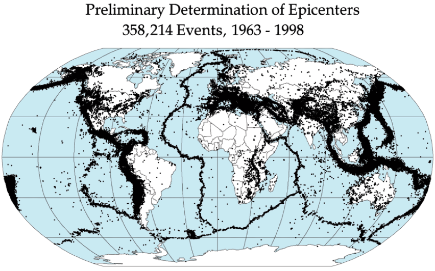
The combined application of accelerometers in mobile phones and computers with cloud computing can help faster detection of their occurrence. A group of scientists (Cochran, Lawrence, Christensen, and Jakka) employed this approach to develop the Quake-Catcher Network (QCN), a seismic network leveraging distributed/volunteer computing to gain critical insights on an earthquake by bridging traditional seismic stations with innovative data sources. In 2009 the group demonstrated that it is possible to detect small earthquakes through a global network of computers connected via the Internet, highlighting the existing capacity to develop rapid earthquake early warning systems at relatively low cost thanks to distributed data collected from the Internet.
In 2014 a group of scientists (Musaev, Wang, and Pu) developed LITMUS, a model to detect landslides following earthquakes by integrating multiple data sources. By integrating social sensors (Twitter, Instagram, and YouTube) and physical sensors (USGS seismometers and TRMM satellite), the model scored better than traditional techniques employed by USGS for real-time hazard mapping. Digital social data from relevant organizations are being integrated to detect when crises happen. For example, the USGS monitors Tweets mentioning earthquakes worldwide with magnitudes of 5.5 and above as a means of detecting them and issuing alerts more broadly through their Twitter Earthquake Dispatch (@USGSted).Floods
Big Data also allow the early detection of floods. By combining information related to flooding from Twitter and satellite observations, a group of scientists (De Groeve, Kugler, and Brakenridge) built a real-time map of location, timing, and impact of floods. The map, constantly updated, can be accessed online.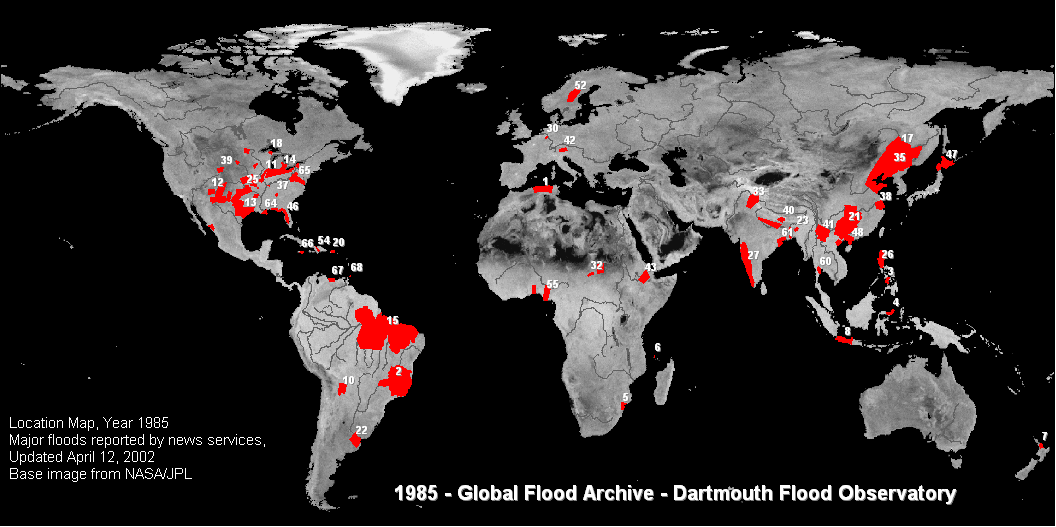
Storms
Big Data has also proven to be helpful in monitoring and assessing the impacts of storms, whether they be hurricanes, typhoons or cyclones (such distinction depending only on the location in which the storm happens). Indeed, Big Data technologies allow an unprecedented capacity to crunch data from distributed datasets that will help gain innovative insights on the weather system. The Government of South Korea, for example, upgraded the simulation capacity of its meteorological office by 1,000% – providing it with the most capable storage system of the country. Not only weather data, but also social data as well as data from mobile telecommunication operators can be useful for mapping and analyzing meteorological hazards. In Bangladesh, the Mobile Data, Environmental Extremes and Population (MDEEP) project investigated how data from the national telecommunication operator Grameenphone could have provided insights on the effectiveness of early warning systems during the occurrence of cyclone Mahasen in 2013. Big Data-powered visualization tools seem particularly promising for helping real-time sensemaking of the weather system as well as for raising awareness of natural hazards among citizens. Earth, an open source animated map integrating data from NOAA’s global forecast system and OSCAR’s ocean currents, among other sources, is a clear example of such potentialities.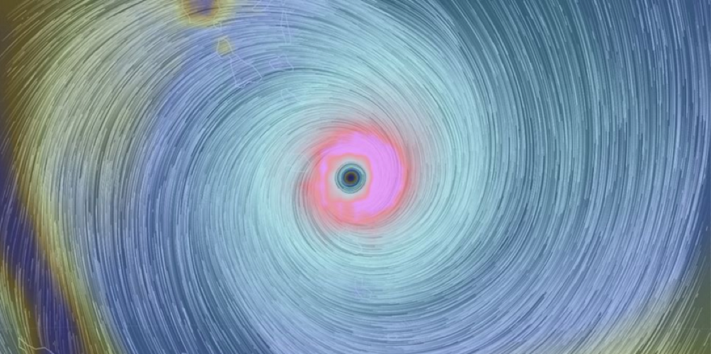
Works cited
![M002 - Feature Blog Post [WEB]](https://datapopalliance.org/wp-content/uploads/2025/10/M002-Feature-Blog-Post-WEB.png)