Geographies of
Inequalities
The Environments and Determinants of Inequity, Violence, and Displacement
Why Geographies of Inequalities?
Rapid urbanization and rising inequalities are two distinct yet interconnected phenomena that characterize our contemporary age. These trends play a crucial role in shaping global systems, producing uneven positive (e.g. cities are the main source of wealth) and negative (e.g. energy consumption and changes in land use strongly contribute to the acceleration of climate change) effects. However, they also have an enormous influence at a micro-level, impacting the opportunities and environments in which people’s daily lives are framed. Understanding social, economic, cultural, and political interrelationships from a territorial perspective, with an emphasis on geographically granular dynamics, allows this Program to uncover important insights into the synergies between poverty, discrimination, migration, and even violence, while also considering vulnerable populations’ and subgroups’ identities and lived experiences.

Methods
Drawing on our extensive experience working on these issues, we employ a variety of methods to understand and address inequalities, including mixed-methods research, data modeling, and policy advice.
Products
‘Fragmented Cities’ Analyses

- Argentina, Europe, Kenya, Latin America and the Caribbean (LAC), Mexico, Philippines, Spain, Sub-Saharan Africa (SSA)
- April - September 2024
- Partner(s): City Hub and Network for Gender Equity - CHANGE (Funder), Open Data Watch
- Theme(s): Feminist Urbanism and Mobility
Data-Pop Alliance (DPA), in collaboration with Open Data Watch (ODW), was tasked with creating a pioneering gender data framework for urban environments, commissioned by the City Hub and Network for Gender Equity (CHANGE). This framework was intended for implementation across CHANGE’s network cities, starting with Barcelona, Buenos Aires, Mexico City, Nairobi, and Quezon City as the initial participants. Capitalizing on DPA’s and ODW’s specialized knowledge in data analytics and gender-focused research, the project’s core objective was to provide a robust measurement of gender equity within varied city landscapes. The project’s deliverables included: A comprehensive blueprint outlining the essential requirements and stages for cities to prepare and deploy the framework; The framework itself, featuring specific dimensions and indicators that assessed both the processes and physical form of the cities concerning gender equity; and a specialized data collection tool, complete with training materials, to enable cities to gather and process all necessary data to effectively utilize the framework. This multi-faceted approach ensured that the participating cities were equipped with the knowledge, tools, and methods required to drive meaningful progress in the realm of urban gender equity.
- Maldives, South & Southeast Asia
- 2017 - 2018
- Partner(s): UNFPA Maldives (Funder)
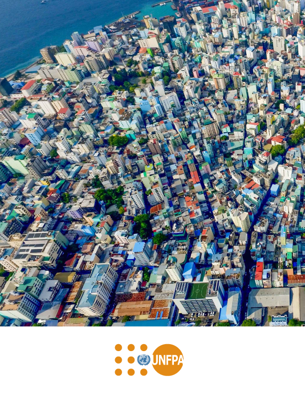
Supported by UNFPA Maldives and the National Bureau of Statistics, this project aimed to use Big Data to illuminate demographic features with significant implications for development policies and programs. Specifically, our partners at Fundazione Bruno Kessler (FBK) developed a prototype to analyze population density and movement patterns by leveraging call detail records (CDRs) and new data analytic techniques. The prototype utilized the temporal dynamics derived from mobile data while preserving the anonymity of mobile users.

- Colombia, Latin America and the Caribbean (LAC)
- June 2017
- Partner(s): Agence Française de Développement - AFD (Funder), Cloud to Street, Flowminder, Harvard Humanitarian Initiative, MIT Media Lab, Overseas Development Institute
Four research papers were developed in collaboration with and funded by the French Development Agency (AFD) between 2016 and 2019 as part of a joint program with Data-Pop Alliance and research partners, titled “Strengthening the Evidence-Base for Leveraging Big Data to Address Global Development Challenges”. This paper, “Characterizing and Analyzing Urban Dynamics in Bogota”, utilized open data and mobile phone records to identify physical characteristics and socioeconomic conditions in the city which have an impact on crime proliferation. The results indicated that urban diversity and natural surveillance theories play a significant role in the proliferation of crime, and this knowledge can be exploited in urban planning to prevent crime. Key research partners included Fundazione Bruno Kessler (FBK) and the MIT Media Lab.
- Latin America and the Caribbean (LAC), Mexico
- 2018
- Partner(s): Oxfam, Oxfam Mexico (Funder)
Data-Pop Alliance and Oxfam México formed a partnership through “DataMex”, with the goal of advancing research and the application of Big Data for sustainable development in Mexico. This agreement, signed in late 2018, has since led to a consultancy and scoping study to identify the areas in which Big Data could be employed to better understand inequalities that have not been analyzed in depth. The resulting project was “Mundos Paralelos“, which focused on areas lacking in understanding and new perspectives that could provide critical insights into the work of Oxfam Mexico.

- Europe, Latin America and the Caribbean (LAC)
- May 2022 - Ongoing
The current debate on the collection and use of race-related data is shaped by country-specific cultural practices and historical backgrounds. Nevertheless, there is a pressing need for more and better racial data in all societies, as a prerequisite for addressing related inequalities. The Racial Justice Data Project contributed to this movement of greater visibility for racial data while focusing on regions that have not been sufficiently explored (Europe and Latin America) and will eventually cover multiple racial-related themes within the platform.
The project provided valuable inputs that can be used by a wide range of actors, from civil society, journalists, researchers, and individuals to advance advocacy causes through data-driven strategies, to public or private stakeholders as a fundamental tool for evidence-based decision-making. To achieve these goals, the project leveraged data from a wide variety of traditional and non-traditional sources, including existing datasets, reports from civil society organizations, legal documents, and social media to present a fuller picture of the effects of racism in an accessible and actionable manner.

- Mexico
- November 2018 - November 2019
- Partner(s): Banorte, MIT Sloan Latin America Office ( MSLAO) - (Funder)
In collaboration with Banorte (Mexican bank), and following DPA’s previous work on the impact of crime on consumption across gender and income groups, this assessment focused on the quantification, at a fine-grain and large scale, of the disruption and recovery dynamics induced by crime across socioeconomic groups. This project showed the progress of DPA’s findings at the zip code level analysis in Mexico City, where a significant correlation between increased crime rates and decreased consumption were found.
Assessments of the Impact and Implications of Crime Across Urban Subgroups

- Colombia, Latin America and the Caribbean (LAC)
- 2017 - 2021
- Partner(s): Citizens Crime Comission, Fondazione Bruno Kessler, Harvard Humanitarian Initiative, Inter-American Development Bank (Funder), MIT Media Lab
Increasingly, data and information are being promoted as powerful tools to understand and prevent crime and violence. However, there are key questions that remain largely unanswered: Why is crime clustering in certain neighborhoods? Why do certain individuals turn to crime while others do not?
Ciudata Segura, leveraging sophisticated analyses of urban crime and violence in cities across Latin America and the Caribbean, has examined the local determinants of crime and the role of impunity and social networks in driving criminal behavior. This analysis involves collecting and analyzing both official and non-official data sources to produce public policy recommendations and action plans.
Funded by the Inter-American Development Bank (IDB) and developed in collaboration with the Harvard Humanitarian Initiative (HHI), Fundazione Bruno Kessler (FBK), the MIT Media Lab, and the Citizens Crime Commission, the project began in 2017. It has resulted in close coordination with local governments and stakeholders, and led to the creation of roadmaps, data audits, and capability assessments to determine further interventions. Additionally, the project has produced research instruments for analysis, including a series of surveys and the creation of a visualization tool.
- Latin America and the Caribbean (LAC), Mexico
- April to July 2019
- Partner(s): UNODC (Funder)
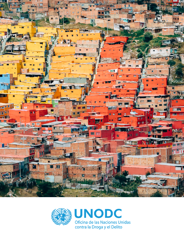
A study published by the Open Society Foundations has reported numerous “atrocity crimes” perpetrated in Mexico against the civilian population since 2006. Against this backdrop, with United Nations Office on Drugs and Crime (UNODC) support, DPA sought to gain better insights into organized and interpersonal crime, by undertaking a scoping study to build a comparative research study in two cities: one heavily affected by organized crime violence and another with low organized crime rates, where violence is mostly interpersonal. To this end, this scoping study aimed at building a research proposal for two cities, according to data availability (i.e. traditional and Big Data sources) and crime dynamics; suggested methodology, and potential partners.
- Lebanon, Middle East and North Africa (MENA), Syria
- September 2019 to April 2020
- Partner(s): UN ESCWA (Funder)
In partnership with United Nations Economic and Social Commission for West Asia (UN ESCWA) and the Qatar Computer Research Institute (QCRI), this project aimed to understand the extent to which particular sets of non-traditional data sources — or crumb — and methodologies related to Artificial Intelligence can provide insights on the living conditions of Syrian Refugees and host communities in Lebanon. In particular, indicators related to human capital, poverty and demographics were explored. Data from the Central Administration of Statistics (CAS), UN agencies, telecom operators, social network data, amongst others, were used to shed light on the living conditions and interactions of Syrian refugees and local communities in Lebanon. Grounded in the Lebanese context, the project showed how these types of approaches may help national, international and local organizations develop better policies and programmes to meet these populations’ needs, while also providing pathways for them to weigh in on access to data about them.

- Latin America and the Caribbean (LAC), Mexico
- October 2019 to March 2020
- Partner(s): Cuebiq, OXFAM México
“Parallel Worlds” was a project developed by Data-Pop Alliance and Oxfam México to analyze inequality in Mexico City using mobility data provided by Cuebiq’s Data for Good program. The project aimed to inform and influence public policy actors in making decisions that contribute to reducing social and economic segregation based on the privilege and marginalization associated with certain spaces in the city.
Data-Pop Alliance analyzed urban inequality in Mexico City by mapping movement patterns in the city, using mobile data to identify segregation patterns related to where people live, work, and consume. The report analyzed three dimensions of inequality: access to education, the right to the city by analyzing exclusive spaces, and access to culture.
The results demonstrated that spatial inequality in Mexico City is marked by unequal access to government services and cultural sites, leading to unequal experiences of urban life and biased access to the city. The paper concluded with a series of public policy recommendations to foster a more equitable and inclusive appropriation of public space. A version of this paper was published in English by Projections, the Journal of the MIT Department of Urban Studies and Planning.
- Haiti, Latin America and the Caribbean (LAC)
- September 2022 - June 2023
- Partner(s): UNICEF Haiti (Funder)
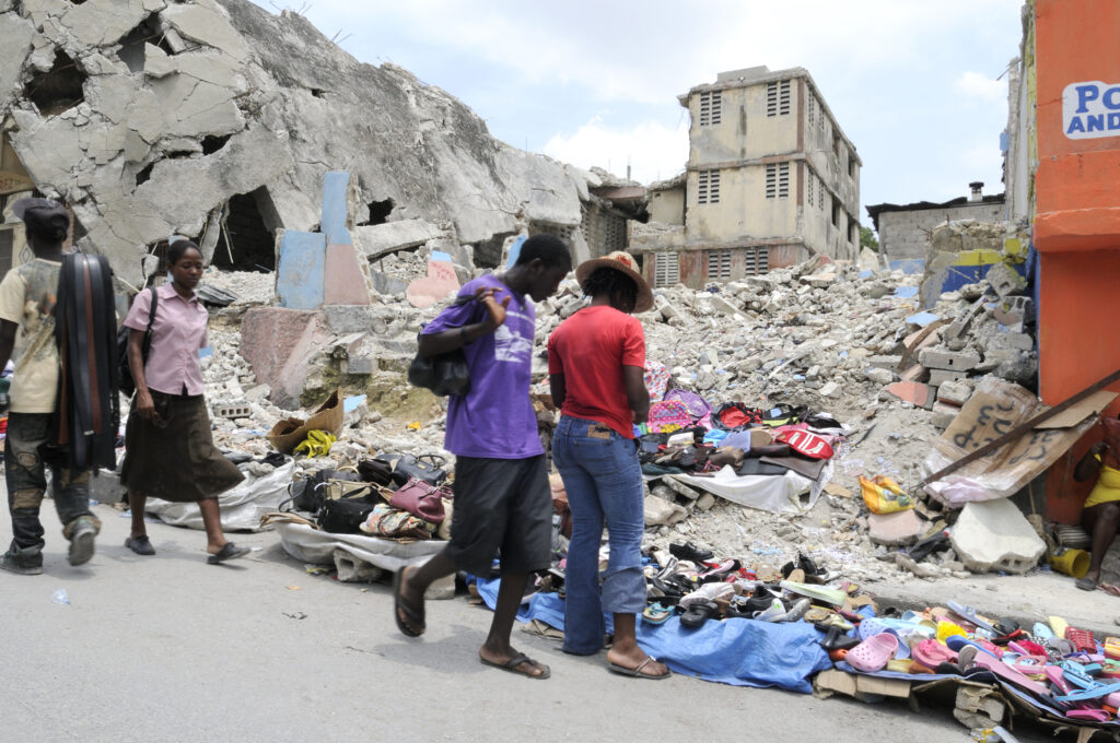
DPA, in collaboration with UNICEF Haiti, collaborated on a study to examine the effects of violence on children and youth in Port-au-Prince’s urban areas. The study aimed to understand the complex relationship between socio-economic factors, violence, and the experiences of children and youth in Port-au-Prince, Haiti by:
(1) Mapping violence involving or affecting children and youth, and identify affected areas’ socioeconomic characteristics;
(2) Analyzing the context to understand the factors driving children and youth to engage in violence;
(3) Gathering detailed data on the situation, its effects on children, recent trends, and existing initiatives addressing the issue; and
(4) Developing strategies to prevent youth violence, protect children and youth, and address the root causes of violence.
Data for Refugees Challenges
- Middle East and North Africa (MENA), Türkiye
- 2018
- Partner(s): Bogaziçi University, FBK, IOM, MIT Media Lab, Türk Telekom, Turkish Academic and Research Council, UNHCR Turkey, UNICEF
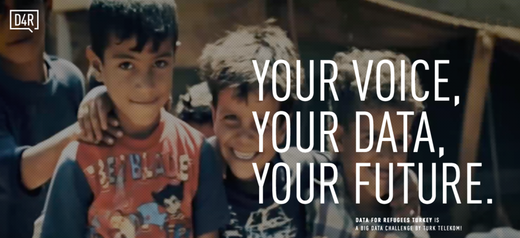
For this challenge, DPA collaborated with various Turkish institutions such as Türk Telkom (the country’s leading telecommunication operator) in collaboration with Boğaziçi University, TÜBİTAK (Turkey’s Scientific and Technological Research Council), the MIT Media Lab, FBK, IOM, UNHCR, UNICEF, to make several anonymized datasets of mobile phone users available to international research teams. The goal was to develop projects to analyze and improve the living conditions of Syrian refugees in Turkey, with a specific focus on safety, health, education, unemployment, and integration.
Two publications resulted from this project, the article “Data for Refugees: The D4R Challenge on Mobility of Syrian Refugees in Turkey”, and a chapter of the book “Guide to Mobile Data Analytics in Refugee Scenarios”.
Transversal Projects
- Nepal, South & Southeast Asia
- November 2024 - February 2025
- Partner(s): UN Women (Lead and Funder)
- Theme(s): Care Economy (for Children, Women, PwD, Older People)
As part of UN Women’s “TransformCare Investment Initiative” in the Asia and Pacific region, this project aimed to promote evidence-informed decision making for equitable care systems as a foundation for inclusive urban development. UN Women led the initiative, with the Data-Pop Alliance (DPA) providing analytical and research support.
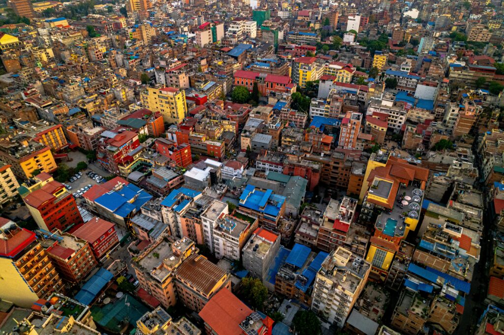
Focusing on Nepal, the project assessed the demand and supply of care services through a gender-inclusive lens. Using geospatial analysis, satellite imagery, and administrative data, the research mapped existing care infrastructure—including childcare centers and services for older persons and people with disabilities—while identifying service gaps and areas of unmet need. The goal was to provide concrete, data-driven strategies to guide policy planning and investment in accessible, affordable, and quality care systems that empower women and support communities.
- Burkina Faso, Liberia, Sierra Leone, The Gambia
- March - May 2024
- Partner(s): UNDP Ethiopia (Funder)
- Bangladesh, South & Southeast Asia
- March - June 2024
- Partner(s): UN Women (Lead and Funder), UN Women Bangladesh
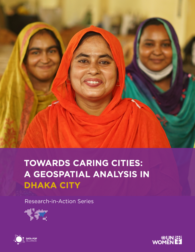
As part of UN Women’s “TransformCare Investment Initiative” in the Asia and Pacific region, this project aimed to promote evidence-informed decision making for equitable care systems as a foundation for inclusive urban development. UN Women led the initiative, with DPA providing analytical and research support.
Focusing on Dhaka City, Bangladesh the project assessed the demand and supply of care services through a gender-inclusive lens. Drawing on geospatial analysis, satellite imagery, and administrative data, the research mapped care-related infrastructure, including early childhood education, eldercare, disability services, and community-based care facilities, while identifying underserved areas and gaps in service provision. The objective was to generate data-driven recommendations to guide urban planning and investment in affordable, accessible, and quality care systems that recognize women’s unpaid care work and strengthen community resilience.
OPAL
- Brazil, Latin America and the Caribbean (LAC)
- February - September 2023
- Partner(s): Gerando Falcões, MIT Sloan Latin America Office ( MSLAO) - (Funder)
